Tajikistan Visa for Indians 2026: Official e-Visa, Pamir Permit & Travel Guide
The definitive consular manual for Indian passport holders venturing across the high-altitude Pamir Highway and the glacial peaks of the Fann Mountains. Master the official e-Visa portal (evisa.tj), the GBAO special border permit, Dushanbe airport clearance, and Silk Road crossings.
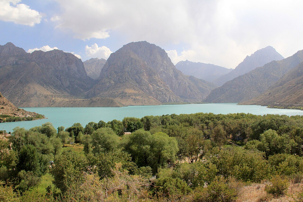
01 Tajikistan: The Roof of the World & The Pamir Highway
The Republic of Tajikistan is the most mountainous nation in Central Asia, where over 93% of the terrain is covered by colossal mountain ranges, dominated by the grand Pamirs (the "Roof of the World" or Bam-i-Dunya) and the jagged turquoise glacial lakes of the Fann Mountains. For adventurers, long-distance road trippers, and trekking enthusiasts, traveling the legendary Pamir Highway (M41)—the second highest international highway on Earth, climbing over the Ak-Baital Pass at 4,655 meters—is a legendary bucket-list expedition.
For Indian passport holders, travel to Tajikistan has been dramatically simplified through the official Electronic Visa (e-Visa) system managed by the Ministry of Foreign Affairs at evisa.tj. Gone are the bureaucratic challenges of visiting an embassy; Indian citizens can obtain an official tourist e-Visa and the indispensable GBAO border permit in a single online application within 48 to 72 hours.
The eastern half of Tajikistan constitutes the Gorno-Badakhshan Autonomous Oblast (GBAO), home to the Pamiri people, the Wakhan Corridor along the Panj River overlooking Afghanistan, and the high Pamir plateau. Foreign travelers cannot enter GBAO territory without an official GBAO permit. When filling out your e-Visa application on evisa.tj, simply tick the box marked "GBAO Permit" and pay the additional $20 USD. The permit will be printed directly onto your approved electronic visa!
02 The Official Tajikistan e-Visa Portal (evisa.tj)
The electronic visa is managed exclusively on the official government website: evisa.tj. Avoid third-party commercial agency clones charging inflated markups. Follow this verified filing sequence:
Initiate Application on evisa.tj
Select English and click "Start Application". Choose your country of citizenship (India), document type (Ordinary Passport), and purpose of travel (Tourism).
Select the GBAO Permit Option
If your itinerary includes Khorog, the Wakhan Valley, Murghab, or driving the Pamir Highway, check the box for GBAO Permit. If you are only visiting Dushanbe, Khujand, and the Seven Lakes / Fann Mountains, you can omit it.
Enter Passport & Travel Particulars
Carefully type your Surname and Given Names exactly as they appear in the Machine-Readable Zone of your Indian passport. Provide your planned arrival date and hotel address in Dushanbe.
Upload Passport Scan
Upload a clean, clear color scan of your passport biodata page (PDF or JPEG format, under 1 MB). Ensure no flash reflections or fingers obscure the MRZ barcode lines.
Pay Consular Fee Online
Pay the fee of $30 USD (or $50 USD with GBAO permit) using an international Visa, Mastercard, or UnionPay card. Save your application tracking code.
Print the Issued Electronic Visa
Within 2 to 3 working days, your approved electronic visa PDF is emailed. Print multiple paper copies. Military checkpoints along the Pamir Highway frequently retain paper copies of your visa and GBAO permit.

03 Overland Silk Road Borders: Combining Uzbekistan & Kyrgyzstan
Many Indian globetrotters experience Tajikistan as part of a grand Silk Road expedition combining Uzbekistan, Kyrgyzstan, and Kazakhstan:
The Panjakent–Samarkand Crossing (Uzbekistan ↔ Tajikistan)
The border checkpoint between Samarkand (Uzbekistan) and Panjakent (Tajikistan) is the most popular overland route in Central Asia:
- Distance: Just 35 kilometers from downtown Samarkand to the border post.
- Logistics: Take a 30-minute shared taxi from Samarkand to the border, walk across the border turnstiles (clearing Uzbek exit and Tajik entry in under 20 minutes), and take another shared taxi on the Tajik side to Panjakent or the Seven Lakes (Haft Kul). Both e-visas are fully accepted here.
The Kyzyl-Art Pass (Tajikistan ↔ Kyrgyzstan)
For travelers traversing the full Pamir Highway from Khorog/Murghab into Osh, Kyrgyzstan, the remote high-altitude Kyzyl-Art Pass (4,280 m) connects the two nations. Verify current bilateral border opening status with local tour operators in Khorog or Osh before attempting this remote high-pass crossing.
04 Expedition Logistics: 4WD Shared Jeeps & Altitude Health
Traversing the Pamir Highway is an expedition, not a casual drive:
Hiring a 4WD Vehicle & Driver
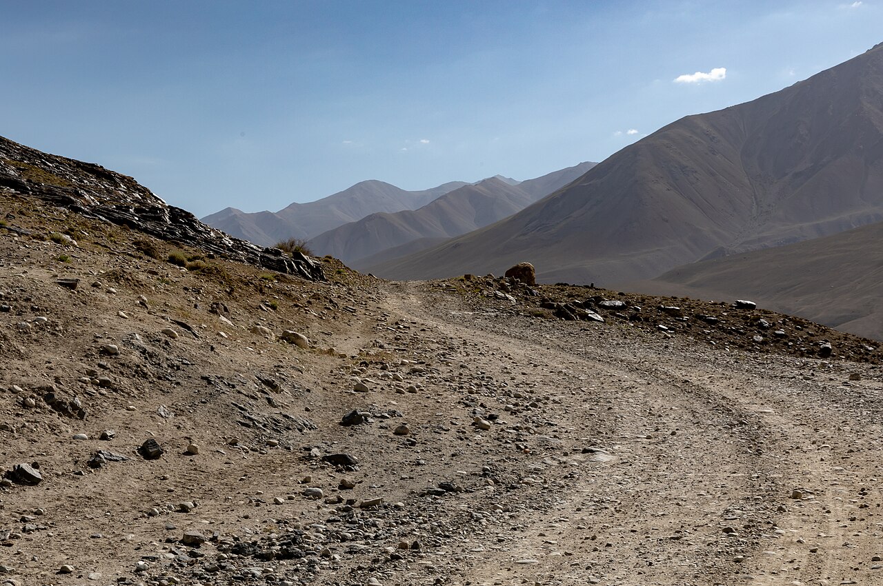
Because of rugged unpaved terrain, river crossings, and sheer mountain drop-offs, the Pamir Highway cannot be driven in standard rental cars. Most travelers organize a 4WD Toyota Land Cruiser with an experienced local Pamiri driver and guide through community tourism associations in Dushanbe or Khorog (such as PECTA - Pamir Eco-Cultural Tourism Association). The classic loop from Dushanbe to Osh via the Wakhan Valley takes 7 to 9 days.
Acclimatization & High-Altitude Passes
The eastern Pamir plateau around Murghab and Lake Karakul sits at an average elevation of 3,800 to 4,000 meters, with the Ak-Baital Pass reaching 4,655 meters. Consular advice for Indian travelers: take time acclimatizing along the lower Wakhan Valley (Ishkashim, Yamg) before ascending to the high plateau, carry plenty of drinking water, and bring medication for altitude sickness.
05 Frequently Asked Questions (Tajikistan Visa for Indians)
Can Indian citizens obtain an e-Visa for Tajikistan?
How much does the Tajikistan e-Visa cost?
Do Indian tourists need to register with the police (OVIR)?
How long can I stay in Tajikistan on an e-Visa?
What flights connect India to Dushanbe?
How is food for Indian vegetarians in Tajikistan?
What currency should I use and do cards work?
What is the penalty for overstaying a visa in Tajikistan?
06 Related Central Asian & Silk Road Handbooks
Complete your Central Asian odyssey with our authoritative country manuals:
Route Logistics Blueprint & Field Risk Audit
Real-time road condition advisories, vehicle suitability checks, fuel outposts, and medical hubs.
- ✓Road Condition & Clearance Audit: Pothole sectors, high-ground-clearance mandates, and monsoon slides.
- ✓Fuel & EV Charging Outposts: Last reliable fuel stations, diesel availability, and emergency tyre repair.
- ✓Offline Navigation & Dead Zones: Topographical route maps for areas with zero mobile phone towers.
- ✓Direct Emergency Authorities: Verified numbers for highway patrol, mountain rescue, and civil hospitals.
🛡️ Personally curated by PK Gupta & the Hidden Routes research desk. Delivered directly to your Email & WhatsApp within 4–8 hours.
Explore Tajikistan & International Travel
For destination itineraries, internal transit, and cultural guides, explore our complete Tajikistan Travel Guide.